Rico Solomon
Great recap, Rob. Thanks.
Jun 21, 2016
Great recap, Rob. Thanks.
Jun 21, 2016
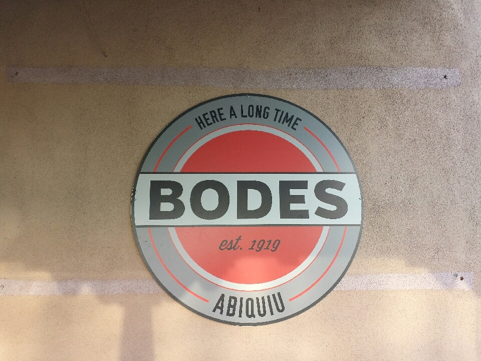
After breaking camp, I made it to Abiquiu at about 7:00 AM. There was a general store with a surprisingly good grocery selection. Its name was Bode's, pronounced just like my brother's name, spelled different.
Even though I was moving relatively quickly in the early going, it felt slow. I guess I thought I should've been making better time while on pavement.
Most of the day involved a long uphill, followed by a log downhill at the end. Towards the end of the day, I was given food and soda by a very nice family. Meat and cheese are things I live without most of the time. Just what my body was craving.
I made it to an OK camping area around 6:00 PM, but it felt so nice out at that time of day, I kept going another 15 km to a river crossing where good camping was also to be had. As an added benefit, it was a little lower in elevation. I'll take anything I can get to have warmer mornings. What I didn't anticipate (but should have) was the horde of mosquitoes at the river. Maybe I should've brought my full tent instead of just the rainfly. But after the sun went down, like magic, they were gone.
After the first initial climb in the morning, I came across a couple that was camping in their small RV, with their mountain bikes along for a day ride. They fed me an orange and a breakfast taco! Oh goodness, how I miss those. And like true New Mexicans, they put green chiles on it.
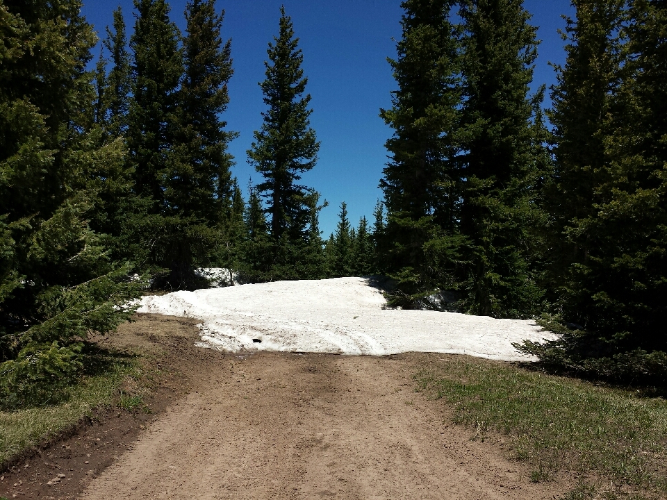
A long uphill, a long downhill. This time, the path was blocked by snow! In a couple other places, large loose rocks made the trail unrideable.
A few miles from the state border, I came across a work crew and talked with them for a while. Most of them were from Texas! A few were from San Angelo, and I never learned the rest specifically. They were wrapping up their work and passing around beers, when one of the workers handed one to me. It had an A&M logo written on it (I usually wear a Texas shirt). So this guy carries a maroon sharpie around? I decided to save it for later, because I didn't want to be the slightest bit intoxicated on the long, bumpy descent.
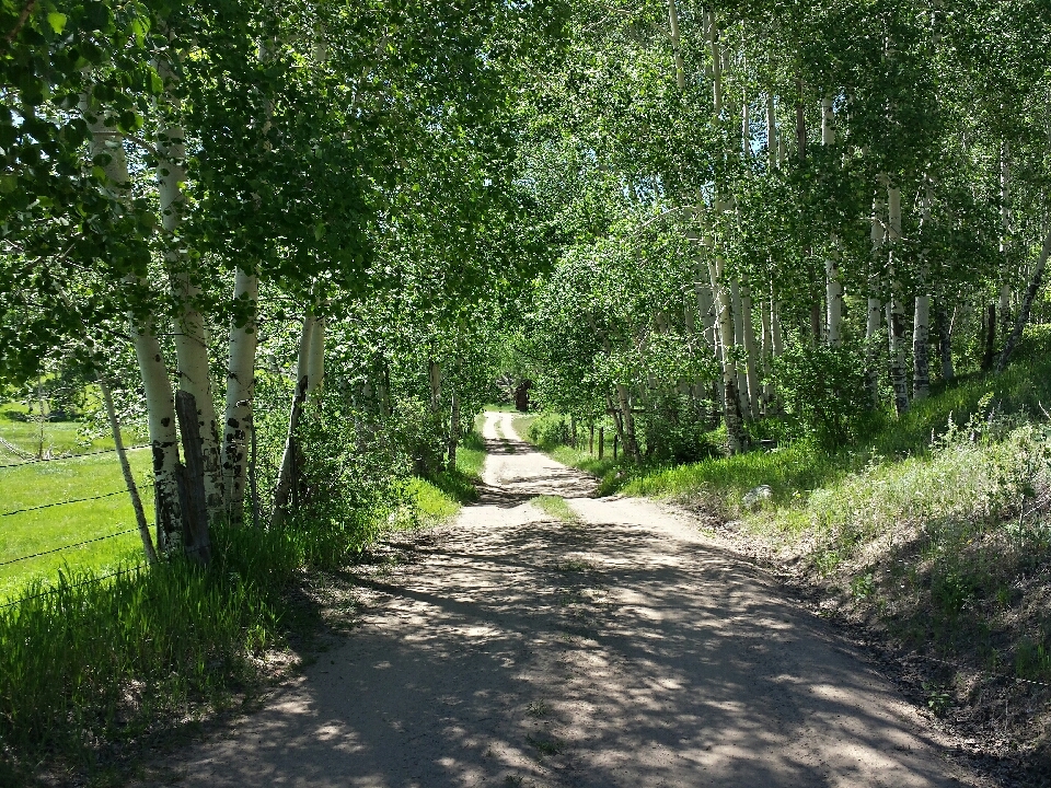
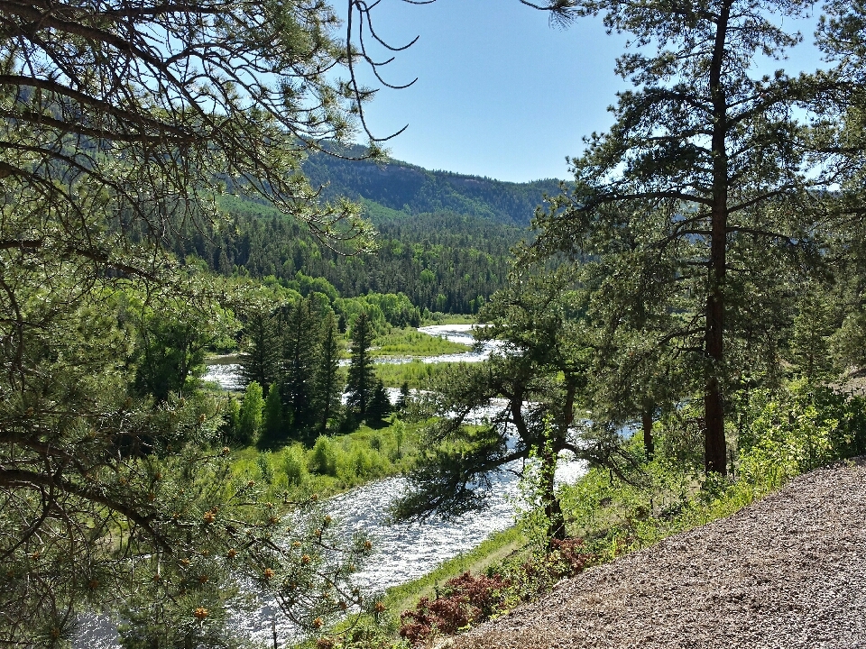
Once I hit pavement, there was a long, fast descent to Horca, followed by a mostly flat gravelly road to Platoro. I was following a river upstream, climbing slowly, but it felt great! Especially when compared to the poor roads I've been on the past few days. I stopped at a free primitive camping area south of Platoro. Unfortunately, the river was now in a gorge and there was no way down. No way to rinse out my clothes, nor cool down the beer I'd been carrying all day.
I met a couple of couples who fed me turkey sausage pasta and chips 'n guacamole. And gave me a hard cider. Good times around the campfire. Thanks, guys!
After Platoro, I had one big challenge: the highest pass on the Great Divide route. Since it's 300 m higher than the pass I'd crossed the day before, I figured it was sure to have snow drifts covering it. I started asking people whenever I saw them, but most told me it was clear!
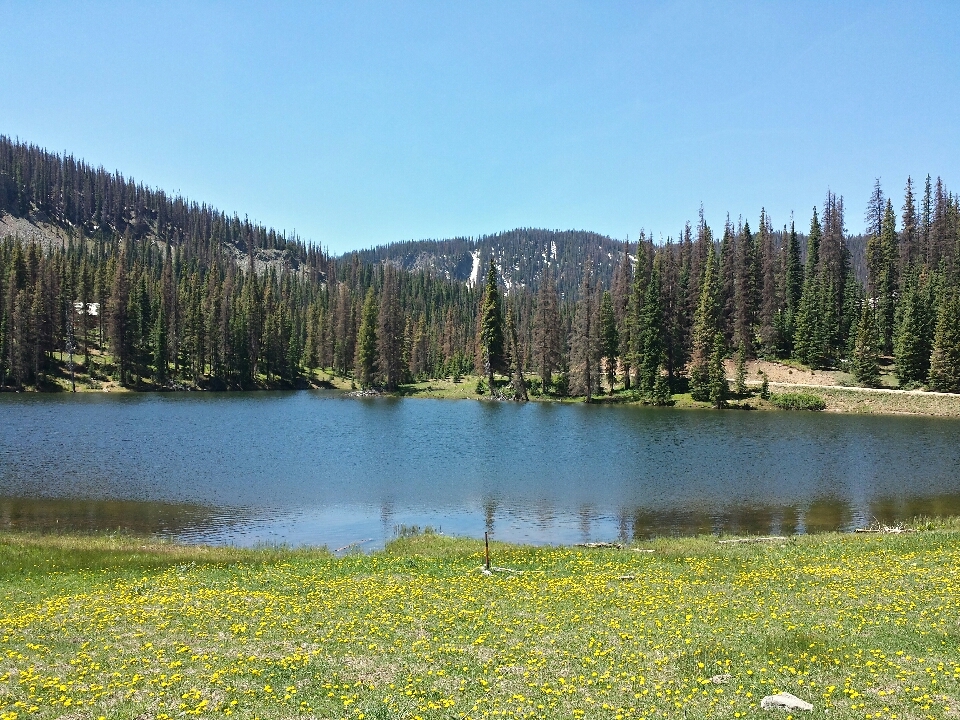
The road was mostly in good shape on the way up, so once I managed to shift into patience mode, the climb didn't seem that bad. It was only the last 200 m or so that were difficult. They weren't any steeper. The road surface was still OK. I just felt weak and frequently needed to stop. The altitude must have had an effect.
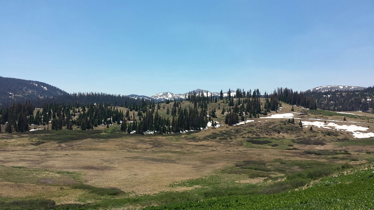
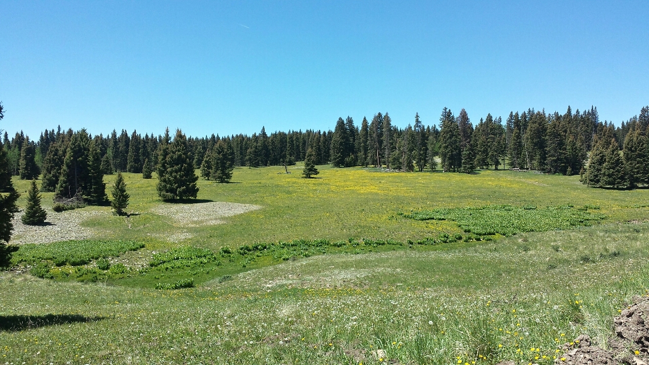
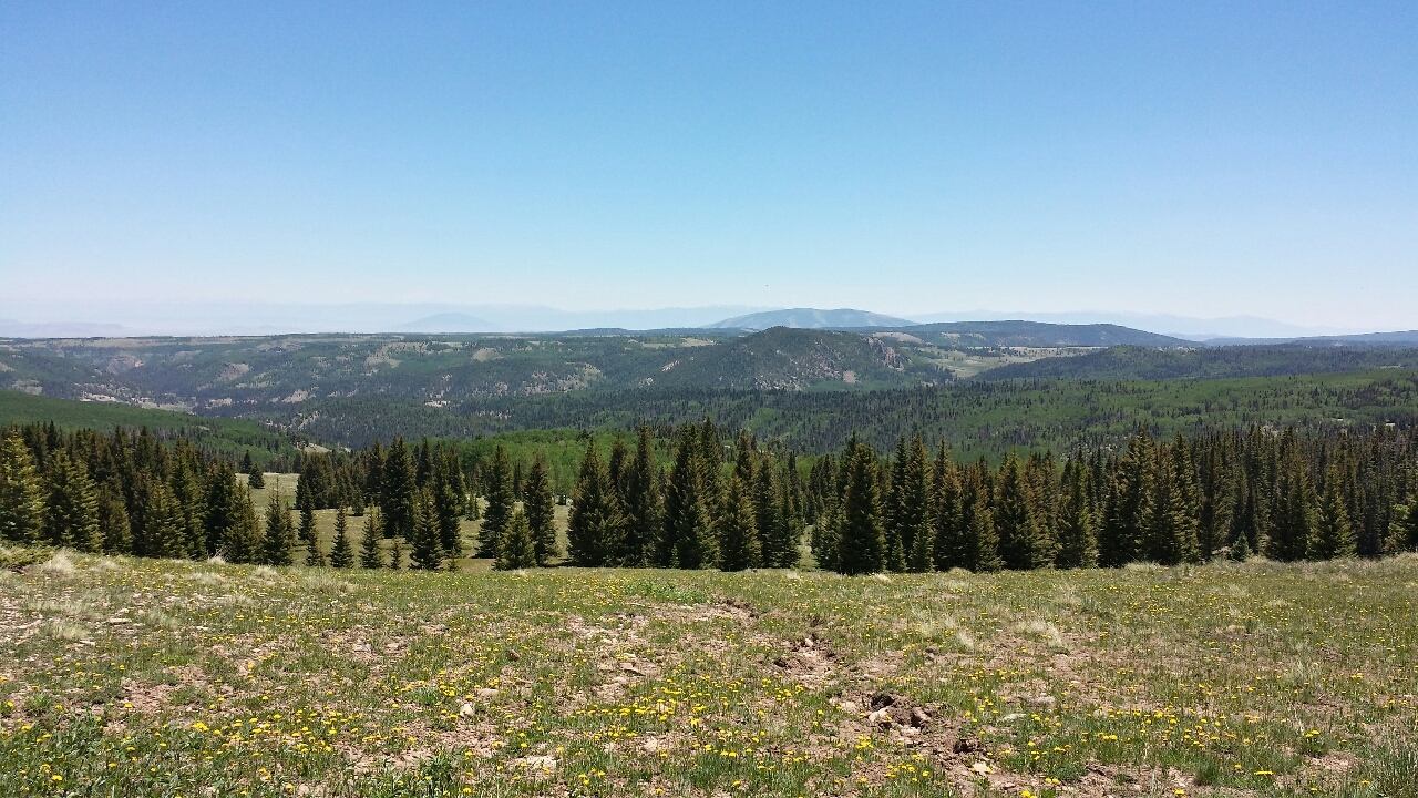
Even at 3,200 m, there are deciduous trees here, and at 3,600 m, I don't believe I was above treeline. Compare that to the northeast, where nothing grows above 1,500 m. My goodness, they have bad weather. Maybe if the sun shone for more than three hours a year on the east coast, something could grow there.
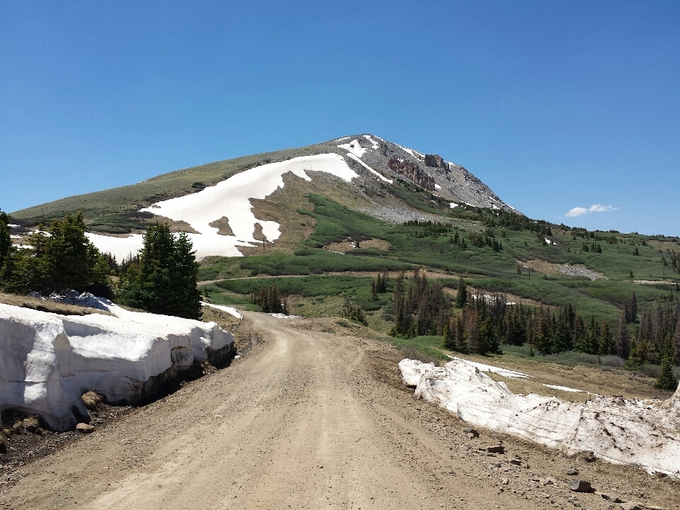
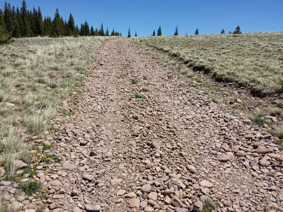
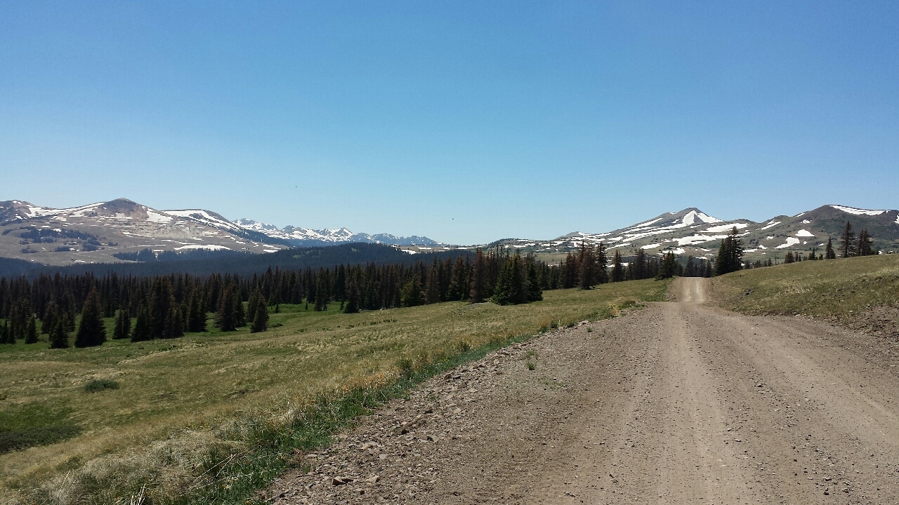
Once I crested the pass and began the descent, the road surface changed. It was perfect hardpack, no bumps, no washboard...but completely covered by grape-sized loose rocks. There weren't any in the woods nearby, and both sides of the road had small ditches with almost none of these rocks in them. They didn't just tumble onto the road; they were placed here.
I'm trying to imagine the conversation that took place:
"Alright everyone, we've finished the new road up that huge mountain. It's unpaved, but we did such a good job with the surface that there will be no washboard or potholes. Firm and smooth the whole way. If there are no objections, we'll open it two days from now."
"I think we should dump 8.7 jiggatons of loose rocks on top first."
"That sounds like a lot of added cost. What's the payoff?"
"So it's incredibly easy to skid out of control!"
"On a road that goes straight down a steep mountain? That's the best idea I've heard all week! Put in an order for eleventy bajillion loose rocks immediately."
I held the brakes the whole way down, lest I lose control for an instant and go tumbling down the mountain. About two-thirds of the way to Del Norte, pavement began. Alright, time to take advantage of this huge downhill!
The hill immediately bottomed out and a stiff headwind kicked in. I can never win.
I made it into town and stayed at a hostel. Two other mountain bikers were there, also doing the Great Divide for now, but intending to split off and go to Utah. They looked like they were about 20 and 70. They were both from Silver City, NM, but unrelated. I never found out how they got to know each other.
Colorado's float requirement is done. Vanilla ice cream and orange soda, like a creamsicle. Pretty darn good!
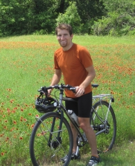
Read about Coyote's adventure with his father in Central Texas. Music, food, wheels, family, all the finer things in life.
 2006
2006
 June
July
August
2007
February
2008
October
November
December
2009
January
February
April
June
June
July
August
2007
February
2008
October
November
December
2009
January
February
April
June
 Lampasas, TX
Lake Whitney State Park, TX
Cedar Hill State Park, TX
Plano, TX
Denton, TX
Archer City, TX
Quanah, TX
Clarendon, TX
Palo Duro Canyon and Amarillo, TX
Dalhart, TX
Branson, CO
Rocky Ford, CO
Manitou Springs, CO
Aurora, CO
Fort Collins, CO
Laramie, WY
Rawlins, WY
Rock Springs, WY
Kemmerer, WY
July
August
2011
January
April
2013
February
March
May
June
July
August
September
October
November
December
2014
January
February
March
May
June
July
August
September
October
November
December
2015
October
2016
2017
January
April
May
June
July
August
September
October
December
2018
January
February
March
April
May
June
July
September
October
November
December
2019
January
February
March
April
May
June
July
2020
February
March
May
June
July
August
September
October
2021
2022
2024
February
Lampasas, TX
Lake Whitney State Park, TX
Cedar Hill State Park, TX
Plano, TX
Denton, TX
Archer City, TX
Quanah, TX
Clarendon, TX
Palo Duro Canyon and Amarillo, TX
Dalhart, TX
Branson, CO
Rocky Ford, CO
Manitou Springs, CO
Aurora, CO
Fort Collins, CO
Laramie, WY
Rawlins, WY
Rock Springs, WY
Kemmerer, WY
July
August
2011
January
April
2013
February
March
May
June
July
August
September
October
November
December
2014
January
February
March
May
June
July
August
September
October
November
December
2015
October
2016
2017
January
April
May
June
July
August
September
October
December
2018
January
February
March
April
May
June
July
September
October
November
December
2019
January
February
March
April
May
June
July
2020
February
March
May
June
July
August
September
October
2021
2022
2024
February

