Prep School
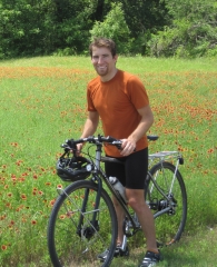
With the PCT less than two weeks away, I'm somewhat out-of-shape. Oh, sure, I could run a half-marathon on a whim, but that's nothing compared to where I was only four months ago. For hiking the PCT, it's not entirely necessary to be a competitive endurance runner, but it doesn't hurt.
I'm trying to finish half the trail in two months. Most people take five months to finish the whole thing. That means I'll have to get a move on, compared to most people. It averages out to roughly 34 km/day, which is almost exactly the pace I kept on the Appalachian Trail. So it's obviously do-able, but I was kind of hoping to slow down a little.
Also, I'm overweight. For me, anyway. Still a modest weight compared to some. That's not such a problem, but the desert heat is a worry, as well as the distance between water sources and resupply points. Smaller bodies don't require as much food or water, so making it through those long, dry, food-less stretches is easier when you don't need as much. It doesn't hurt that skinny bodies have less insulation and stay cooler in the heat.
It turns out the PCT still lacks a single guidebook comparable to The A.T. Guide, by AWOL (trail name), the quintessential guidebook for the Appalachian Trail. Instead, HalfMile (trail name) publishes annotated USGS maps with hiker points-of-interest added in. They're great and easy-to-read, as long as you can print in color. Otherwise, the line for the trail blends in with the contour lines and is nearly impossible to distinguish. "It needs to still work in black-and-white" is a major rule of good design.
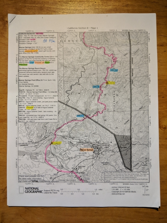
As such, I've been going through all the maps, highlighting the important info (like the trail) and color-coding different points of interest. Pink for trail, blue for water, yellow for campsites, etc. Now it's easier to read at a glance. In the end, it's arguably better than The A.T. Guide, though a lot less compact.
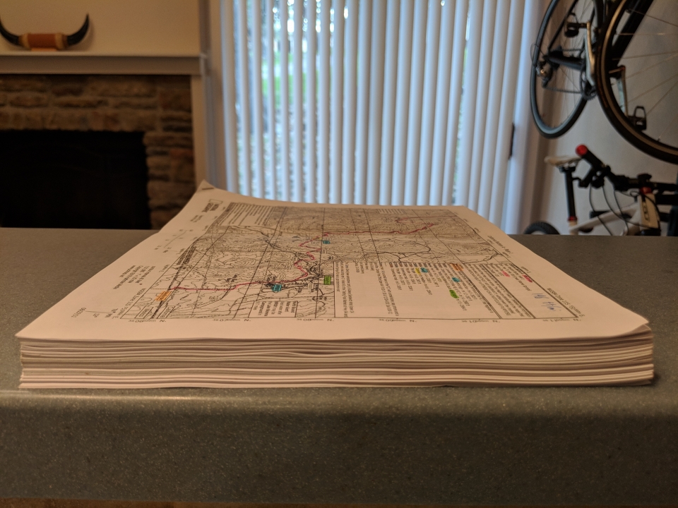
This is only for half the trail. The A.T. Guide is only about a quarter of the size, despite including the entire Appalachian Trail, and even has a lot more points of interest. Granted, there are almost no maps in The A.T. Guide, but information, not maps, is the important part anyway.
More to come in a later entry, specifically about resupplying...


 June
June

